The five states
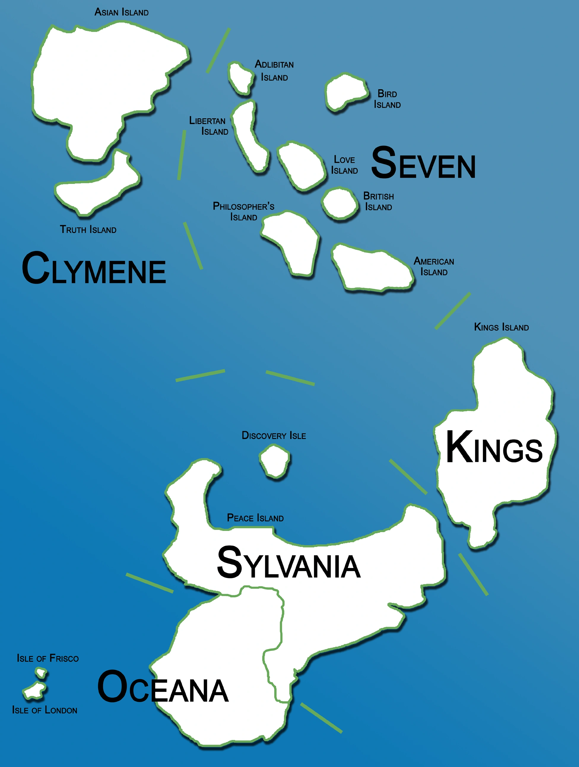
Lovia is divided into five states: Clymene, Kings, Oceana, Seven and Sylvania. All states are governed by a governor and deputy governor.
History[]
Shortly after the foundation of the sixth Lovian place, Kinley, in 1903, the idea of a high-level subdivision arose among the citizens. In 1904 the Lovian Congress proposed the foundation of states, which was accepted June 20 of that year. This was set in action January 1, 1905, and Clymene, Kings, Oceana, Seven, and Sylvania were created. The first state elections were held in October 1905.
Etymology of the state names[]
- Sylvania - forest land in Latin, due to the wooded nature of the state
- Kings - named after the king
- Seven - the number of islands in the state.
- Oceana - a reference to the nearby ocean
- Clymene - another name for the nymph Asia, referring to the Asians who first discovered it.
List[]
| State | Seal | Flag | Capital | Population | Hexacode | Situation map |
|---|---|---|---|---|---|---|
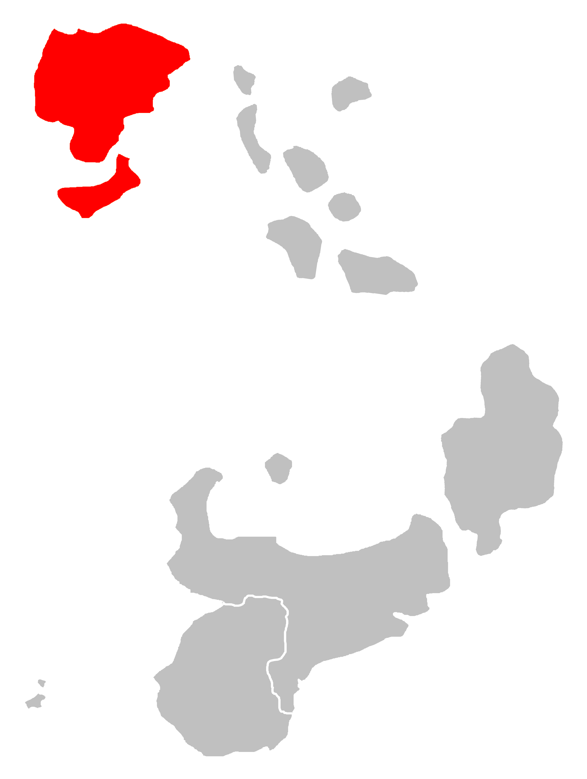
| Clymene | 
|
35,932 | CL (CL-01-01)
|
| ||
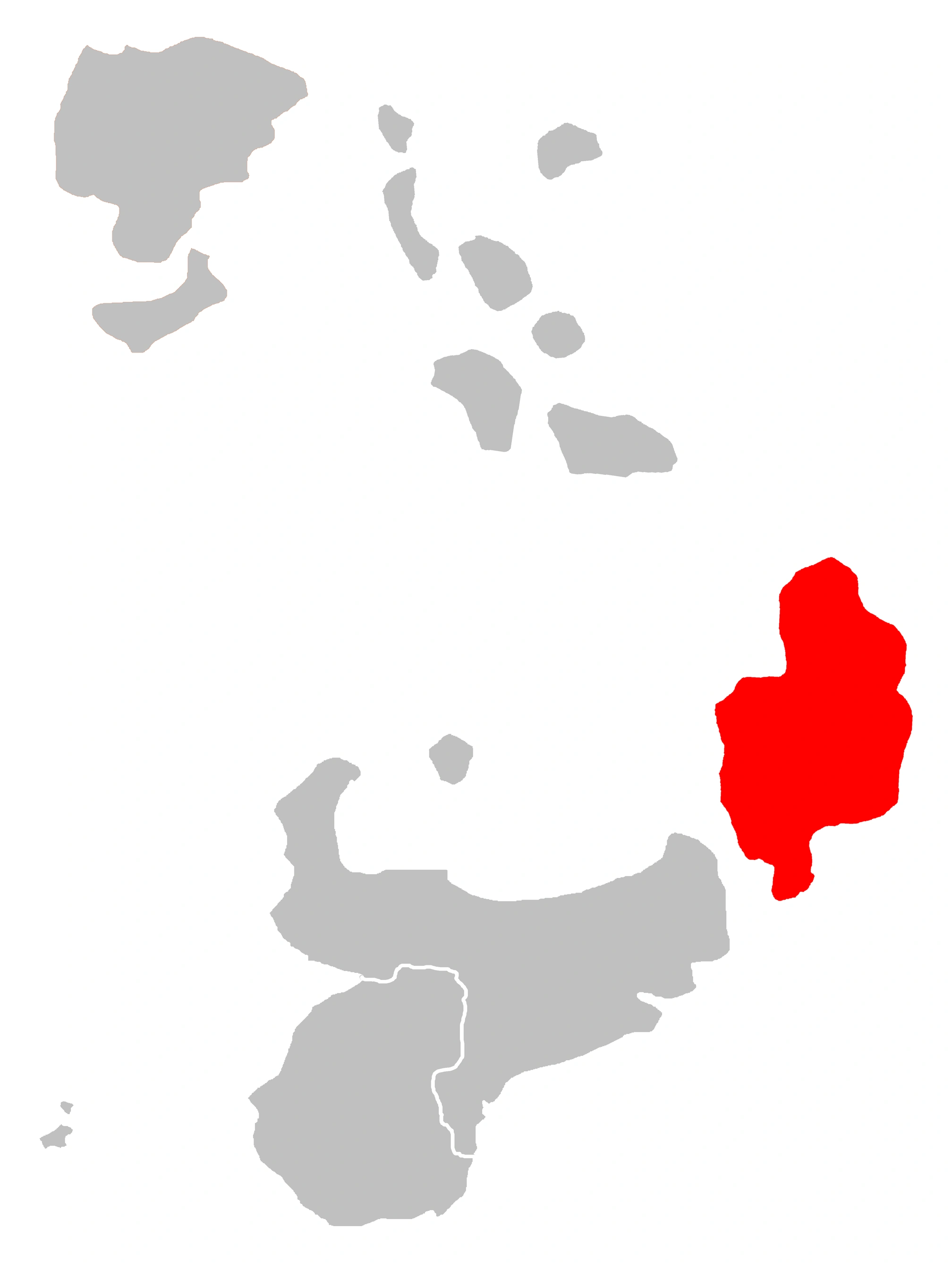
| Kings | 
|
64,292 | KI (KI-01-01)
|
 | ||
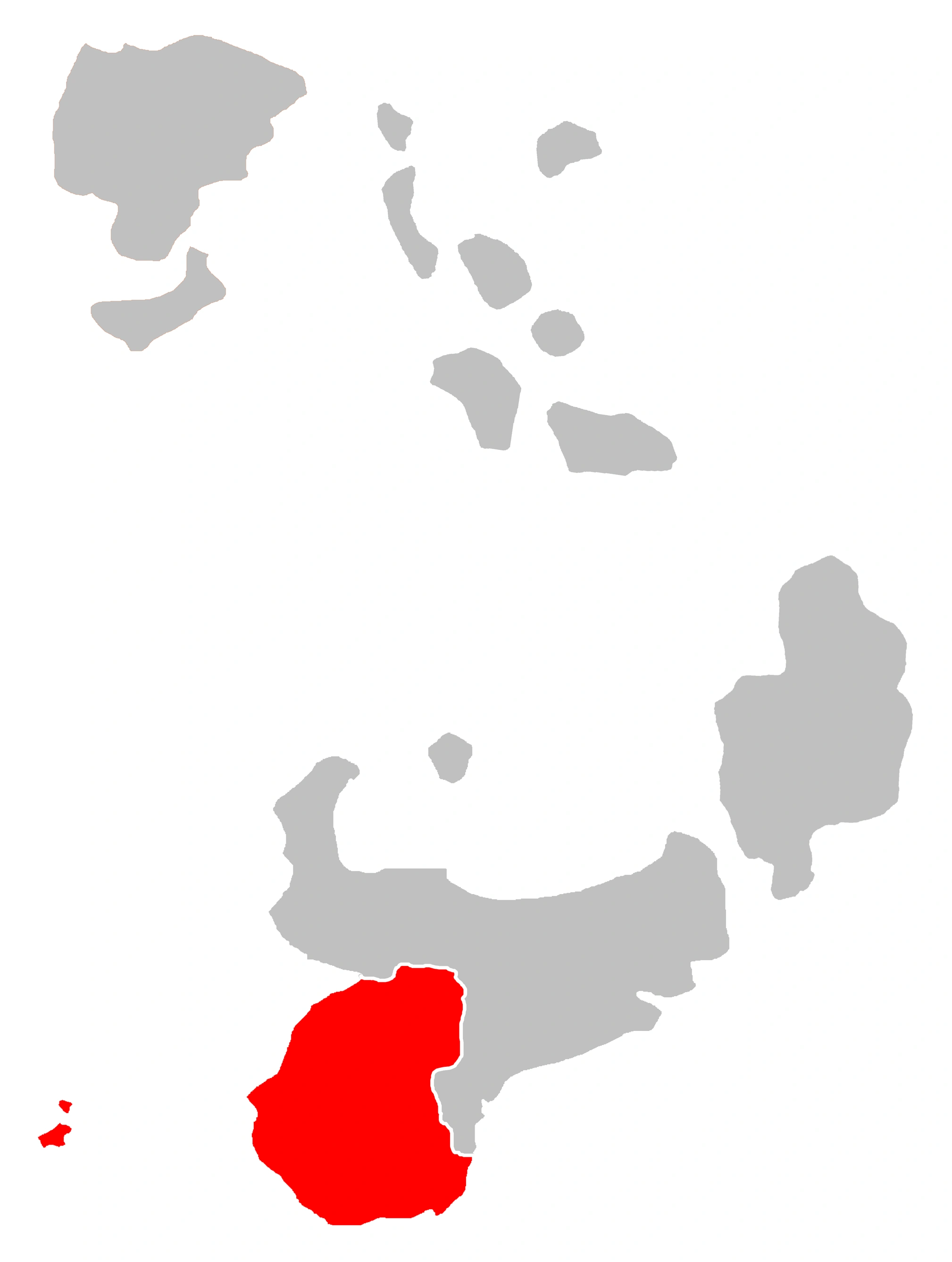
| Oceana | 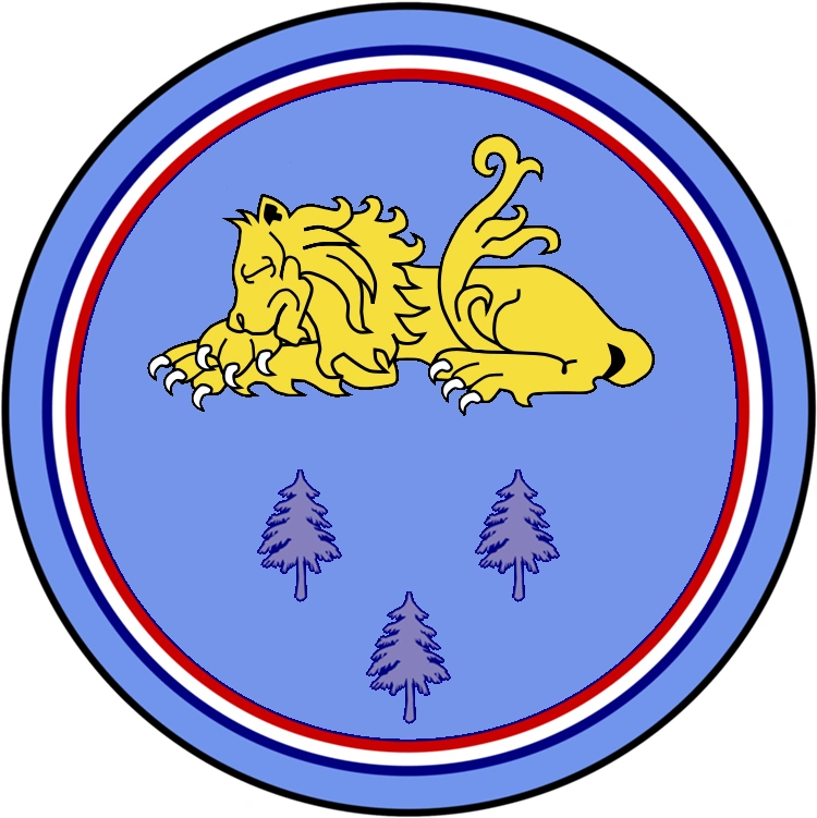
|
48,265 | OC (OC-01-01)
|
 | ||
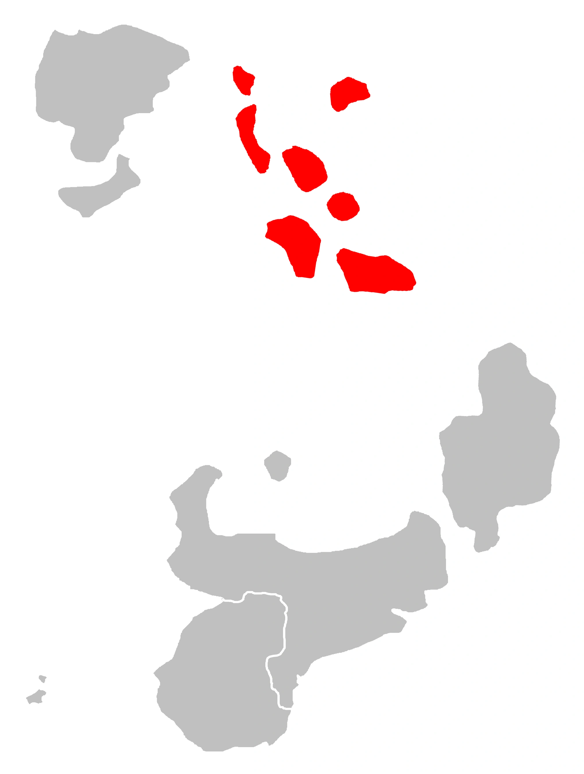
| Seven | 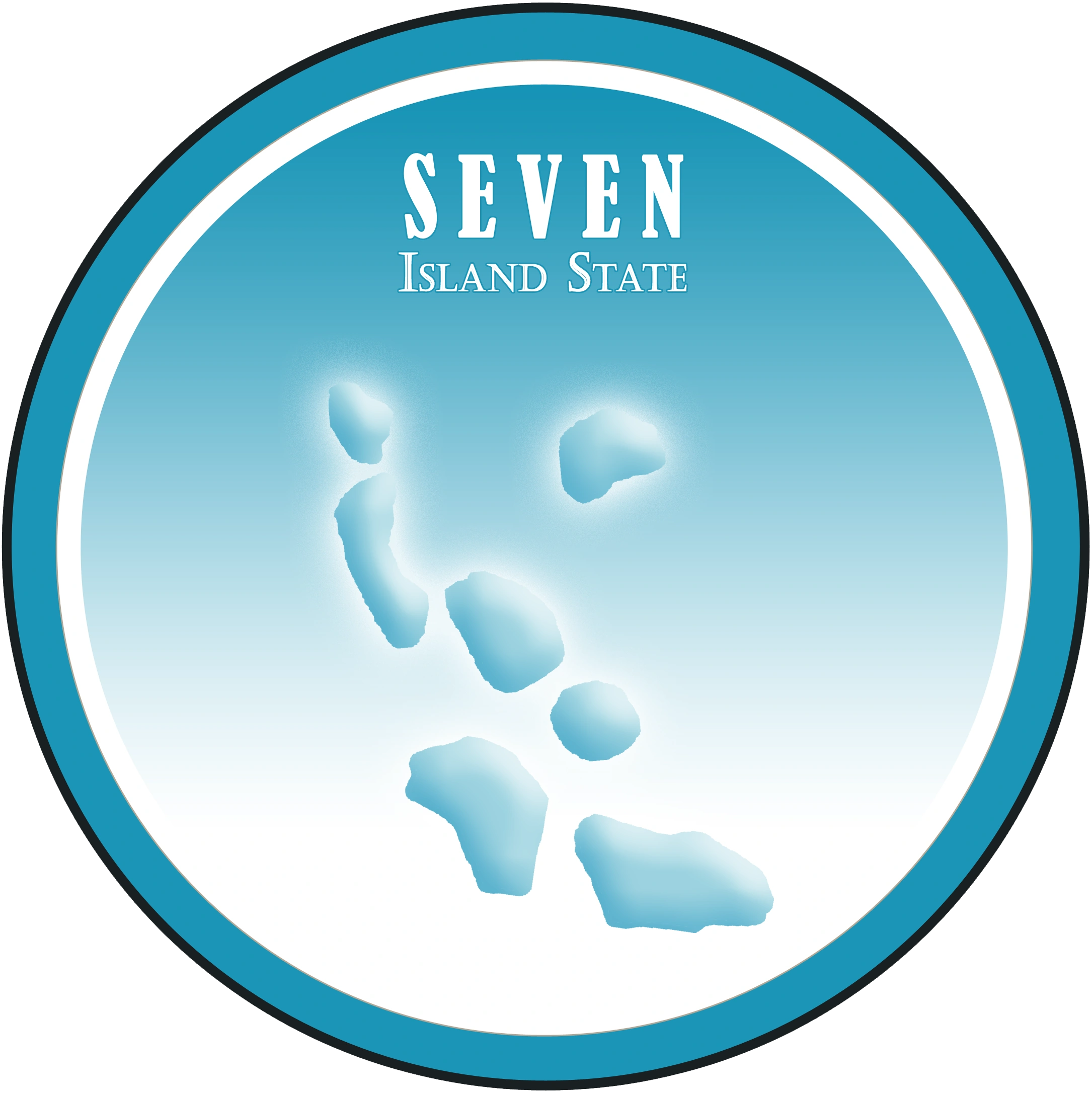
|
27,894 | SE (SE-01-01)
|
 | ||
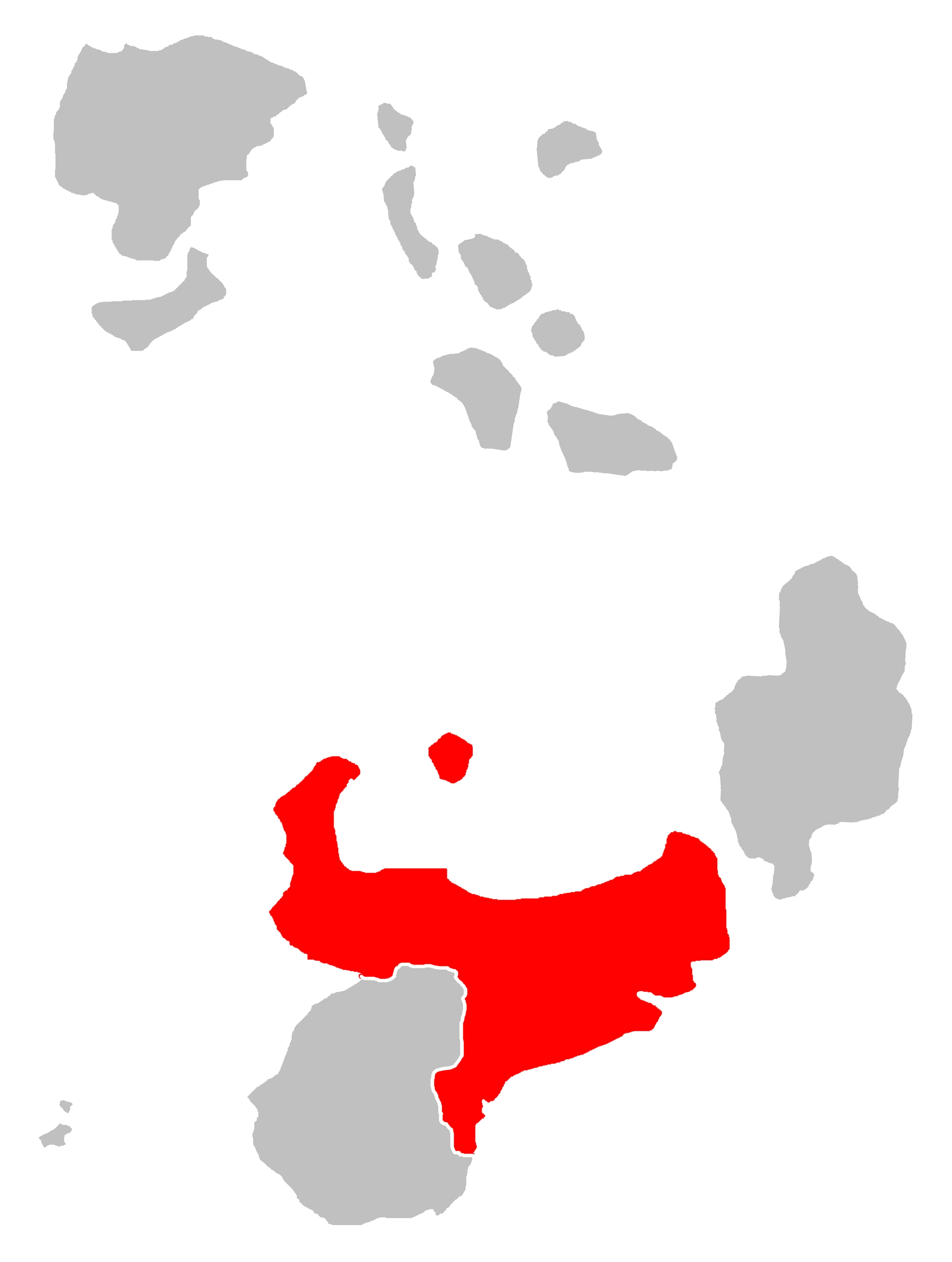
| Sylvania | 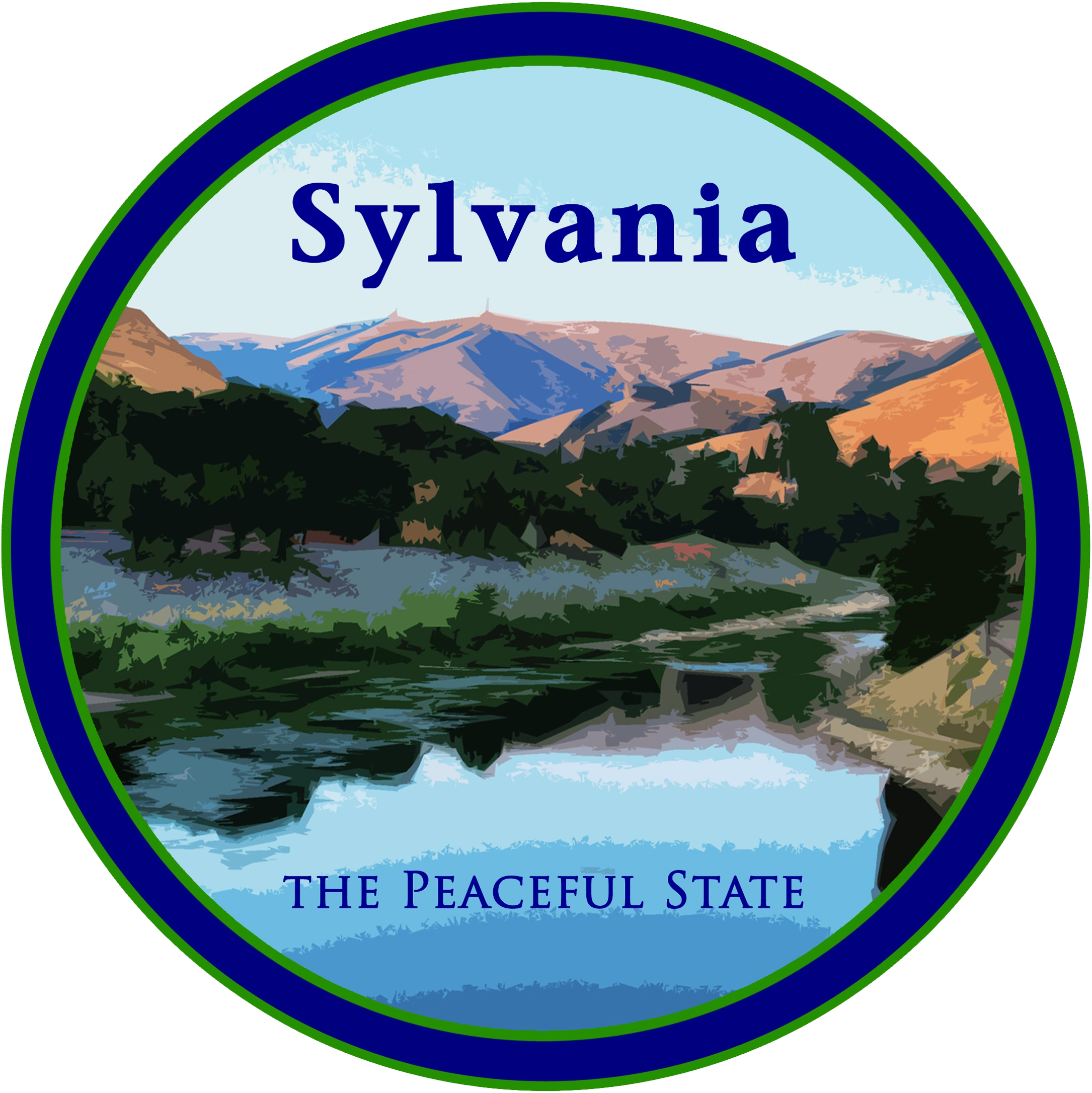
|
76,509 | SY (SY-01-01)
|
 |
|
|
Records[]
- Largest state: Sylvania
- Smallest state: Seven
- Most populated state: Sylvania
- Least populated states: Seven