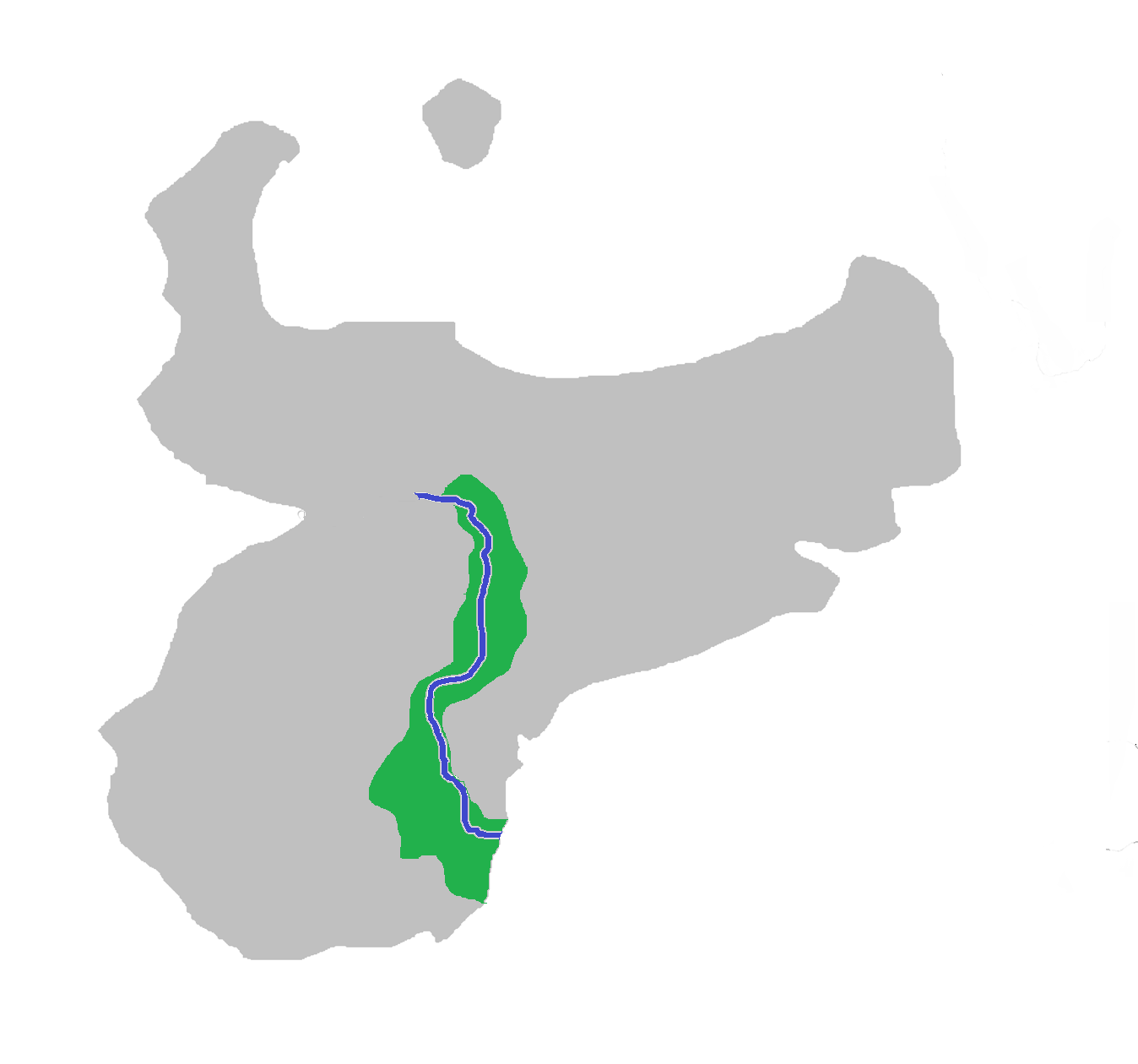
| Beaver River | ||
| ||
| Name | Beaver River | |
| State(s) | ||
| Source | Emerald Source, Mount Emerald | |
| Mouth | Pacific Ocean | |
| Tributaries | Noble City Creek, Barstow River, Little Emerald Creek, Green River, Guend, Svolnick River, Pineapple Creek, Little River, Bonney River | |

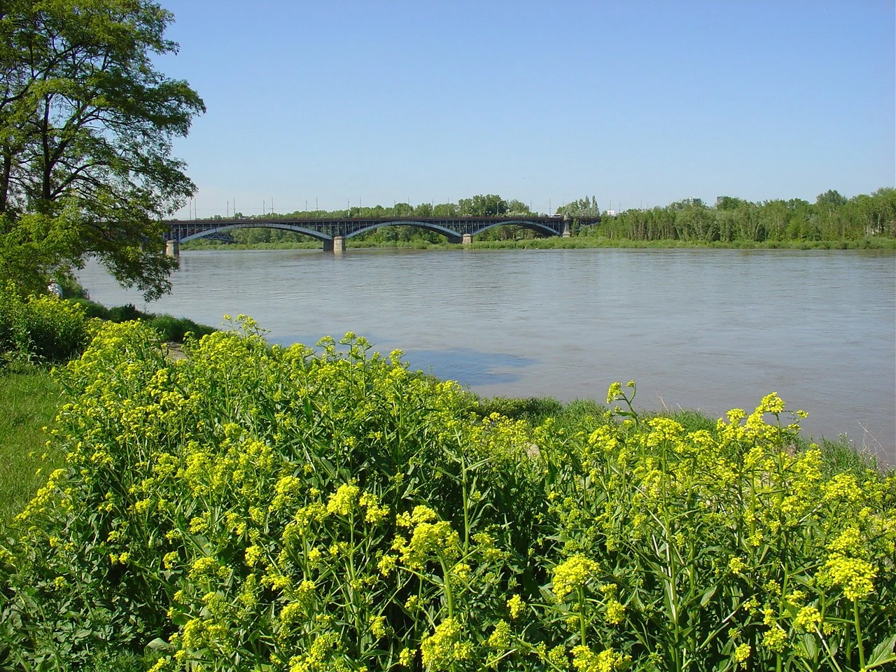
The Beaver Valley.
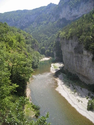
The Bonney River, a tributary in the Stephen Headland.


The camping shop of Ben's Beaver River Camping near the Beaver River.
The Beaver River (Oceana: Rike o'thie Bobors, IPA: ['ʁikɛ ʔo tʰiə̯ 'boboʁs]) is a river in the Kingdom of Lovia, crossing the States of Oceana and Sylvania. It is the country's longest and broadest river, mouthing in the Pacific Ocean, south of the capital Noble City. Its source is Emerald Source, at the south flank of Mount Emerald, Peace Island's highest mountain, in the Emerald Highlands. The river's drainage basin drains approximately 85% of Peace Island, making it the largest drainage area in Lovia. It used to be an important gateway to the Peace Island inland, but when railways and highways replaced water transportation, the river got out of use in the second half of the 20th Century.
Etymology[]
The name's origin is rather obvious. The Beaver River was named after the large population of beavers populating the upper river when it was discovered by the Founding Fathers. These days, Beavers have left the river, mostly as a result of climate changes. Still, at the river's highest point, close to the Emerald Source, a small beaver population lives.
Other names given to the Beaver River, mostly before they knew the many rivers they crossed were one and the same, were Emerald, Green River[1], Peace Island River and King Arthur's River. Most of those names got out off use when the official name was propagandized.
Geography[]
The widest point of the Beaver River is just before mouthing into the Pacific Ocean, south of Long Road, Noble City. The width there is about 1.5 kilometer, or 0.9 miles. A series of three small dams, most of which were built in the 1990s, was designed primarily to maintain a 2.7 m (9 ft) deep channel for commercial barge traffic. The small lakes formed are also used for recreational boating and fishing. The dams make the river deeper and wider but don't stop it. No flood control was intended. During periods of high flow, the gates, some of which are submersible, are completely opened and the dams simply cease to function. Past the Peace Island Railway crossing, the Beaver River is relatively free-flowing.
The Beaver River runs through two states, Sylvania and Oceana, and was used to define portions of this state border. The middle of the riverbed at the time the borders were established was the line to define the borders between states. The river has since shifted, but the state borders of Oceana and Sylvania have not changed; they still follow the former bed of the Beaver River as of their establishment.
Watershed[]
The Beaver River has a rather small drainage basin or catchment, compared to others in the world. But its watershed is the largest in Lovia, succeeded by The Abby's drainage basin. The river's drainage basin drains approximately 84.9% of Peace Island. These are the tributaries of the Beaver River: In Sylvania:
- Bonney River[2]
- Little River
- Pineapple Creek
- Green River
- Little Emerald Creek
- Noble City Creek
In Oceana:
Places along the river[]
These are cities, towns and other places of interest, along the Beaver River, ordered from the beginning (the source) of the river to its end (the mouth):
- Emerald Creek (former village)
 Train Village[4]
- Noble City[5]
Crossings[]
 |
This page or article section is under construction.
You are welcome to assist in its construction by editing it. You may want to discuss on the talk page before making major edits. |
Beaver River is crossed by many bridges, including railway bridges, highway bridges and road bridges:
- ... (under construction)
- Peace Island Railway
- Highway 1
References and notes[]
- ↑ The Green River currently flows trought Sylvania.
- ↑ This river is same with its tributaries, Little River and Pineapple Creek, situated in the Stephen Headland in the northern part of Sylvania.
- ↑ More than 95% of the river is located in Oceana, though the river mouths in the Beaver River just over the border, in Sylvania.
- ↑ The town lies 5 kilometres off the river banks.
- ↑ In most places, the city lies 3 and a half kilometres off the river banks. Beaver River runs far south of Long Road and the Industrial Park neighborhood.