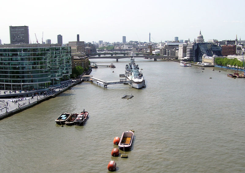
The Abby seen from the Old Port
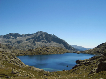
The isolated Abby Lake
The Abby is a river in the State of Kings. The most important town lying at the river is Newhaven. Due to a heavy storm in the sixties of the twentieth century, the river changed its course. The valley of the Abby, situated between the Central Heights and the elevated southern region, is home to the larger animals of Kings and very popular with tourists. Especially the isolated Abby Lake is of great importance to the balance between man and nature. The valley of the Abby is recognized as a protected environment by the Kings State Park Service.
[]
In 1887, William Burke was asked to survey the river with a view to extending navigation. Three years later the navigation act was passed, enabling construction upon the navigation to begin. However, the initial estimates of cost were soon exceeded, and work slowed. Eventually, about 1912, the canalisation of the Abby was completed, and the river was navigable troughout the whole Island of Kings. The navigation totalled 22 miles in length and featured 19 locks.
Trade along the Abby navigation consisted mostly of lime, chalk, manure, aggregates and coal. Whilst in 1901

The Abby Falls (and the Lovian Energy Company's electricity generator)
there were 51 barges registered as trading on the river (21 of which worked the river above Lewes), the navigation was never a huge commercial success. During the 1940s, as railways proved to be a cheaper and faster method of transporting goods, attempts were made to attract more trade by reducing tolls, but this had little effect and by 1868 all trade above the river had ceased, although boats continued working on the Lower Abby to Newhaven right up to the 1950s.
Today, the remains of most of the old locks are still visible, although there is recently planned to renew them all. The restoration is promoted by Newhaven and the state of Kings.
Ecology and wildlife[]

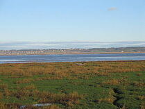
The Abby with the city Newhaven.
There is at present a lot of research into the presence and effects of organic and inorganic pollutants in the Newhaven Abby. The nature of the river is that sediment in high-flow areas is absent. In 2001 the river flooded, placing areas (fortunately unpopulated) under water.
The valley of the river is known for the unusually large amount of pine trees that are growing there. The river also contains large Pike (up to 30 pounds) and more recently large Carp. Other species include Barbel, Roach, Dace, Rudd, Minnow, Perch, Chub, Pumpkinseed and Tench. The tidal stretches also contain Mullet (fish) and near the mouth, Bass.
Today the Abby is managed by the Environment Agency and is utilised as a source of drinking water and as a conduit for treated sewage as well as providing drainage for the surrounding area. It has reverted to its tidal state and its banks have been raised in an attempt to stop flooding. From Newhaven to the sea the river has long posed a problem with flooding, as was so forcefully demonstrated in 1960, and more recently in October 2000.]
See also[]
 |
| City of Newhaven |
| Geography and nature: Abby Park - Abby (river) - Federation Park - Federation Square - Greenpark |
| Neighborhoods: Abby Springs - East River - Malipa - Newhaven (downtown) - Old Port - Pines |
| Monuments and key buildings: Abby Springs Station - The Arcade - Central Library - Kings State Capitol - Lovian Museum for Modern Art - Malipa Civic Auditorium - Malipa Station - Newhaven Airport - Newhaven Main Station - Newhaven Shopping Center - Newhaven Stadium - Town Hall - Pines Station - Richmond House |
| Apartment buildings: Federation Buildings - Noble Buildings - Northern Abby Building - Pines Apartments I & II - Southern Abby Building |